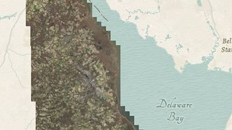
Delawareans rely heavily on geographical information on a daily basis. Vital datasets from Imagery, Land Use Land Cover and Lidar datasets are critically out of date.
Modernization means that maps and data will be updated with the new Route 301, many road modifications, several new schools, nursing homes, assisted living centers, daycares, housing developments, and Bayhealth hospital.
Delaware's Governor
State Directory
Elected Officials
General Assembly
Delaware Courts
State Employees
Cities & Towns
Delaware State Code
State Regulations
Business First Steps
Phone Directory
Locations Directory
Delaware Public Meetings
Voting & Elections
Transparency
Choose Health DE
Tax Center
Personal Income Tax
Privacy Policy
Weather & Travel
Contact State Agencies
Corporations
Franchise Tax
Gross Receipts Tax
Withholding Tax
Guides to Services
Help Center
Mobile Apps
E-mail / Text Alerts
Social Media

Built by the Government Information Center
©
MMXXVI Delaware.gov