 Delaware Department of
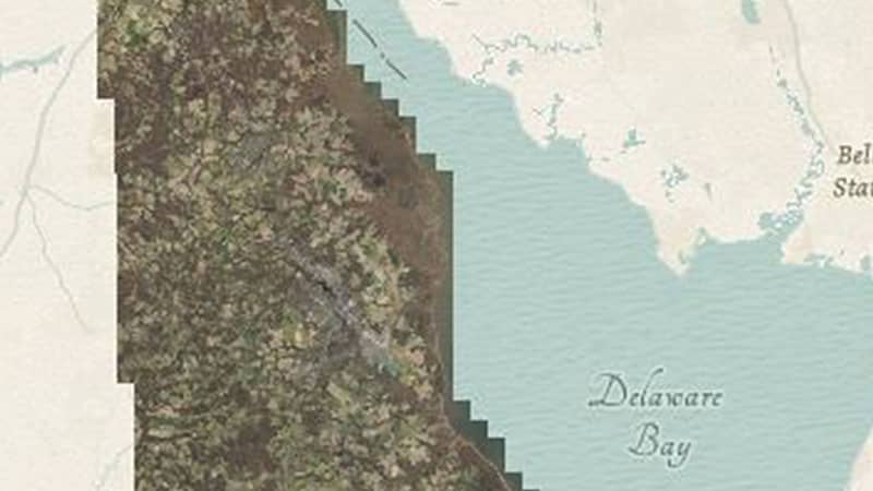
Delawareans rely heavily on geographical information on a daily basis. Vital datasets from Imagery, Land Use Land Cover and Lidar datasets are critically out of date.
Modernization means that maps and data will be updated with the new Route 301, many road modifications, several new schools, nursing homes, assisted living centers, daycares, housing developments, and Bayhealth hospital.